


Mastering the Download of Remote Sensing and GIS Data
Mastering the Download of Remote Sensing and GIS Data
Published 6/2024
Duration: 3h1m | .MP4 1280x720, 30 fps(r) | AAC, 44100 Hz, 2ch | 2.6 GB
Genre: eLearning | Language: English
Published 6/2024
Duration: 3h1m | .MP4 1280x720, 30 fps(r) | AAC, 44100 Hz, 2ch | 2.6 GB
Genre: eLearning | Language: English
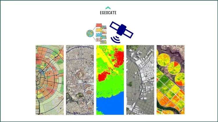
Your Comprehensive Guide to Downloading and Accessing Free and Commercial Geospatial Data
What you'll learn
Download free commercial Imagery
Download Free very high resolution imagery
Download free DEM, DSM, Point clouds, Lidar data, Earthquake data
Download free remote sensing data from Google Earth Engine
Download free remote sensing data from USGS Earth Explorer
Download free remote sensing data from Sentinel Hub and other platforms
download free satellite imagery form 1960 to now
Download free Drone imagery
Identifying different types of remote sensing data (optical, radar, LiDAR, thermal, hyperspectral)
Identifying different types of GIS data (vector, raster, attribute, metadata)
Requirements
Basic knowledge of GIS and Remote sensing
Description
Are you ready to master the art of acquiring remote sensing and GIS data?
This course is designed to equip you with the essential skills and knowledge needed to efficiently access and download a wide variety of geospatial data from both free and commercial sources.
Whether you're a student, professional, researcher, or tech enthusiast, this course will guide you through the intricacies of obtaining high-quality remote sensing and GIS data. You'll learn about the different types of remote sensing data, including optical imagery, radar, LiDAR, thermal, hyperspectral data, and GIS data such as vector and raster formats.
We'll explore free platforms like Sentinel Hub, NASA Earthdata, USGS Earth Explorer, Google Earth Engine, and Copernicus Open Access Hub, providing step-by-step tutorials for each. Additionally, you'll gain insights into commercial data providers' understanding of their data acquisition processes.
By the end of this course, you'll be proficient in accessing data, and integrating multiple data sources for comprehensive analysis.
Join us and unlock the full potential of remote sensing and GIS data to enhance your projects, research, and professional endeavours.
This course is designed for:
Students and Academics
: Those studying geography, environmental science, urban planning, or any field related to remote sensing and GIS.
Professionals in Geospatial Fields
: Individuals working in GIS, remote sensing, environmental monitoring, urban planning, and related industries who want to enhance their data acquisition skills.
Researchers
: Scholars conducting research that requires remote sensing and GIS data for analysis.
Government and NGO Staff
: Employees involved in spatial data analysis, environmental monitoring, urban planning, disaster management, and policy-making.
Tech Enthusiasts and Hobbyists
: Individuals interested in learning about remote sensing and GIS data for personal projects or general knowledge.
Data Scientists and Analysts
: Professionals looking to integrate spatial data into their analytical workflows.
Environmental Consultants
: Consultants who require remote sensing and GIS data for environmental impact assessments and other consulting projects.
Urban Planners and Architects
: Professionals who need spatial data for planning and designing urban spaces.
Disaster Management Experts
: Those involved in disaster risk reduction and management who need accurate spatial data for planning and response.
Educators
: Teachers and instructors who want to incorporate remote sensing and GIS data acquisition into their curriculum.
Who this course is for:
Students and Academics: Those studying geography, environmental science, urban planning, or any field related to remote sensing and GIS.
Professionals in Geospatial Fields: Individuals working in GIS, remote sensing, environmental monitoring, urban planning, and related industries who want to enhance their data acquisition skills.
Researchers: Scholars conducting research that requires remote sensing and GIS data for analysis.
Educators: Teachers and instructors who want to incorporate remote sensing and GIS data acquisition into their curriculum.
Disaster Management Experts: Those involved in disaster risk reduction and management who need accurate spatial data for planning and response.
More Info